Skaffes
Leveres april 1. halvdel
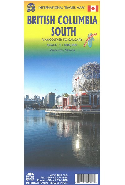
British Columbia South: Calgary to Vancouver, International Travel Maps
DKK
110.00
inkl. moms
DKK
88.00
ekskl. moms
ISBN:
9781771290883
Sprog:
Engelsk
Indbinding:
Kort falset papir
Målestok:
1:800.000
Forlag:
ITMB publishing
Udgivelsesdato:
05-04-2019
Udgivelsesår:
2019
Udgivelsesland:
Canada
Serie:
International Travel Maps
BESKRIVELSE:
This map covers the area between Vancouver and Calgary, and is the perfect tourist map for exploring the Rocky Mountain region. All roads and rail lines between the two cities are shown, as well as camp grounds, parks.
Legend Includes:
Points of interests, airports, RV and camping sites, wilderness camps, picnic areas, waterfalls, tourist information, museums, golf courses, gas stations, outdoor activities and other information.
Folded paper, road and travel map in color. Scale 1:800,000. Distinguishes roads ranging from divided highways to other roads-4WD/dry weather. Legend includes railways, trails, ferry routes, glaciers, points of interest, international airports, domestic airports, museums, mountain peaks, camping/recreation sites, RV camping/recreation sites, hot springs, protected areas/National Parks, picnic areas, skiing areas, hospitals/treatment centres, gas stations, rafting areas, paddling areas, hiking, golf courses, viewpoints, mountain biking, diving, beaches, fishing areas, boat launches. Includes inset map of Downtown Victoria (1:20,000), Downtown Vancouver (1:13,000) and extensive place index.